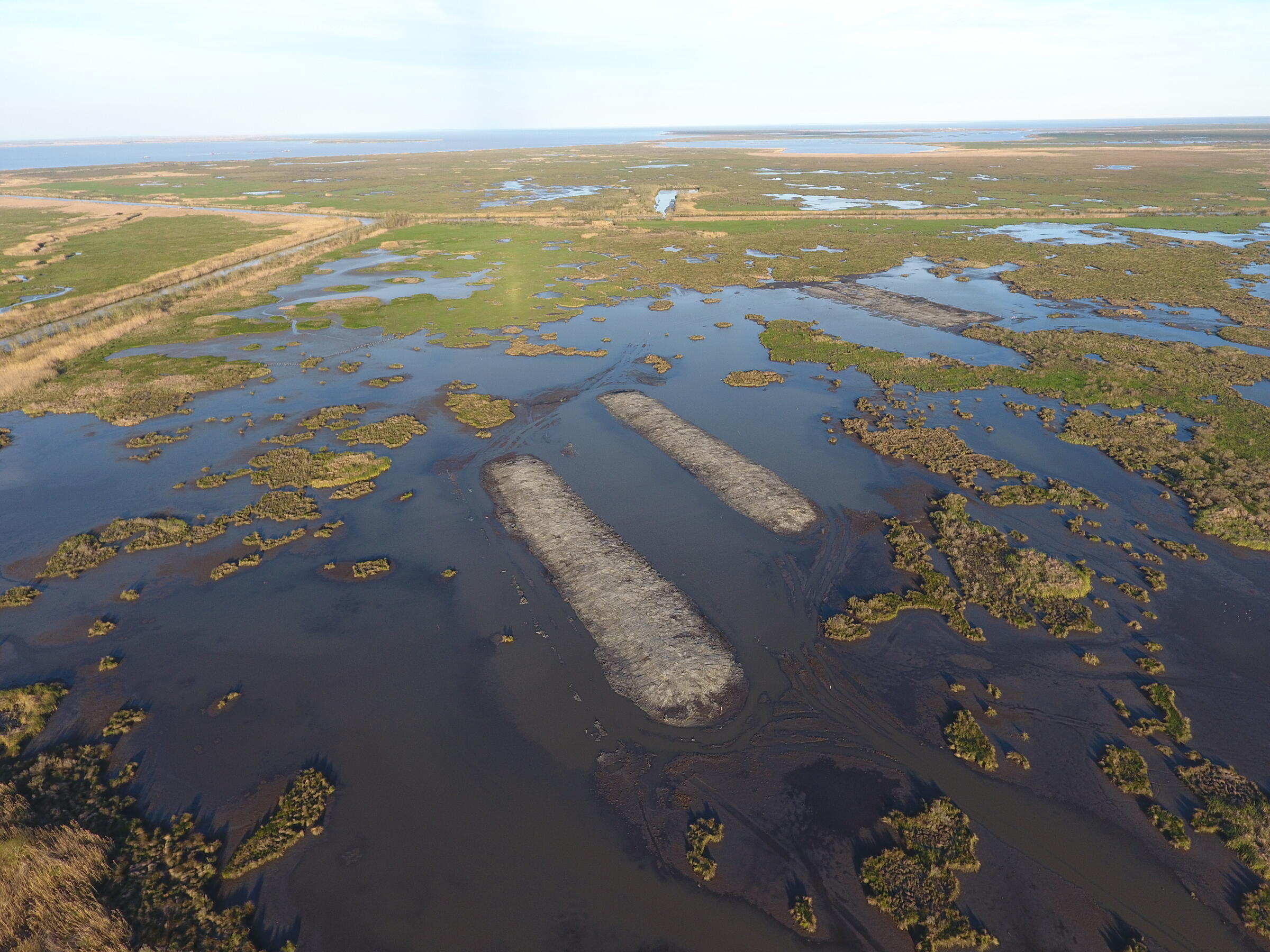
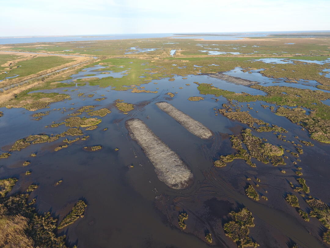
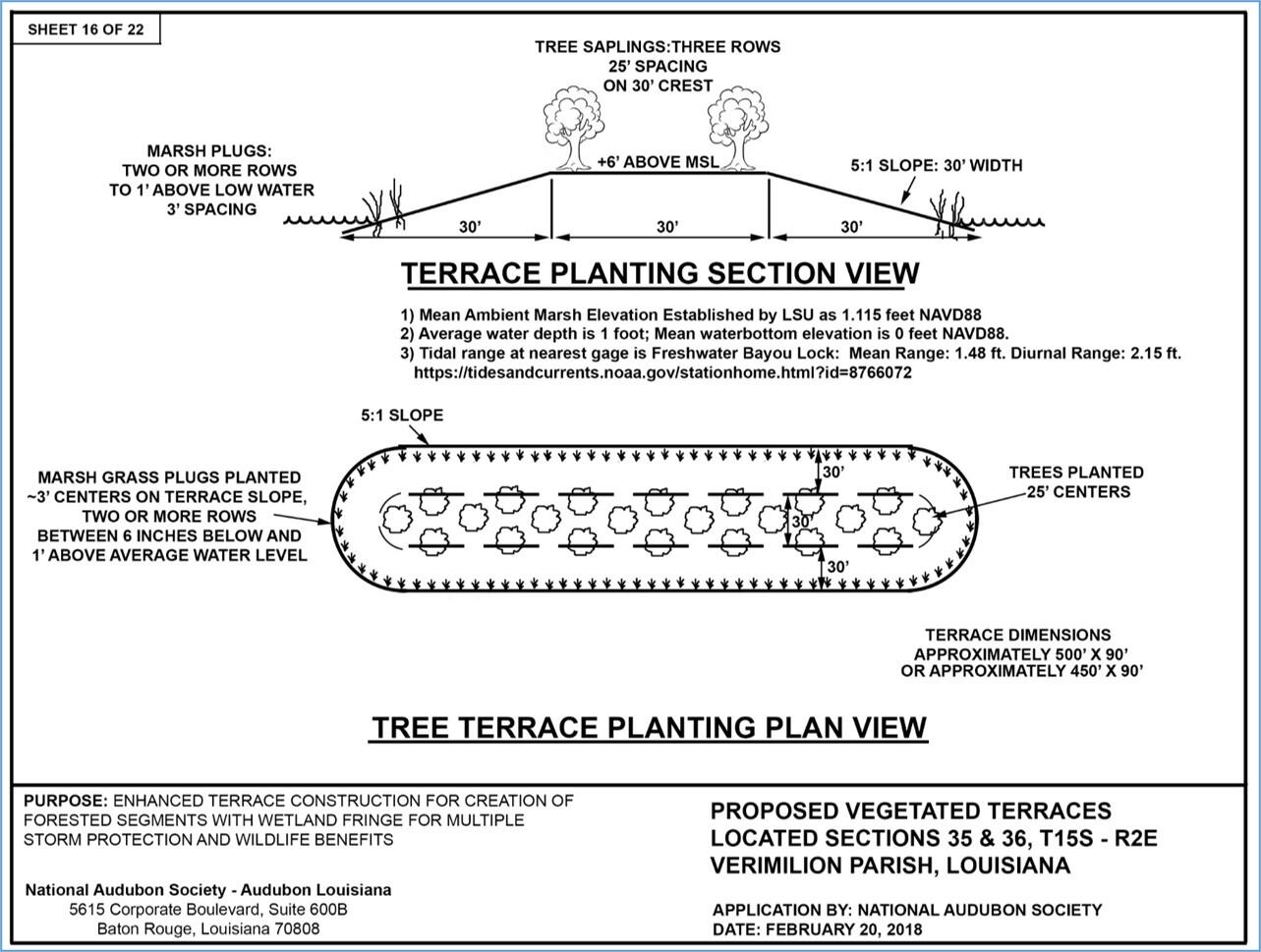
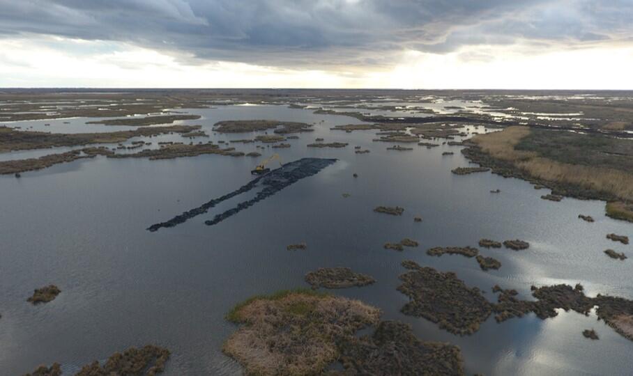
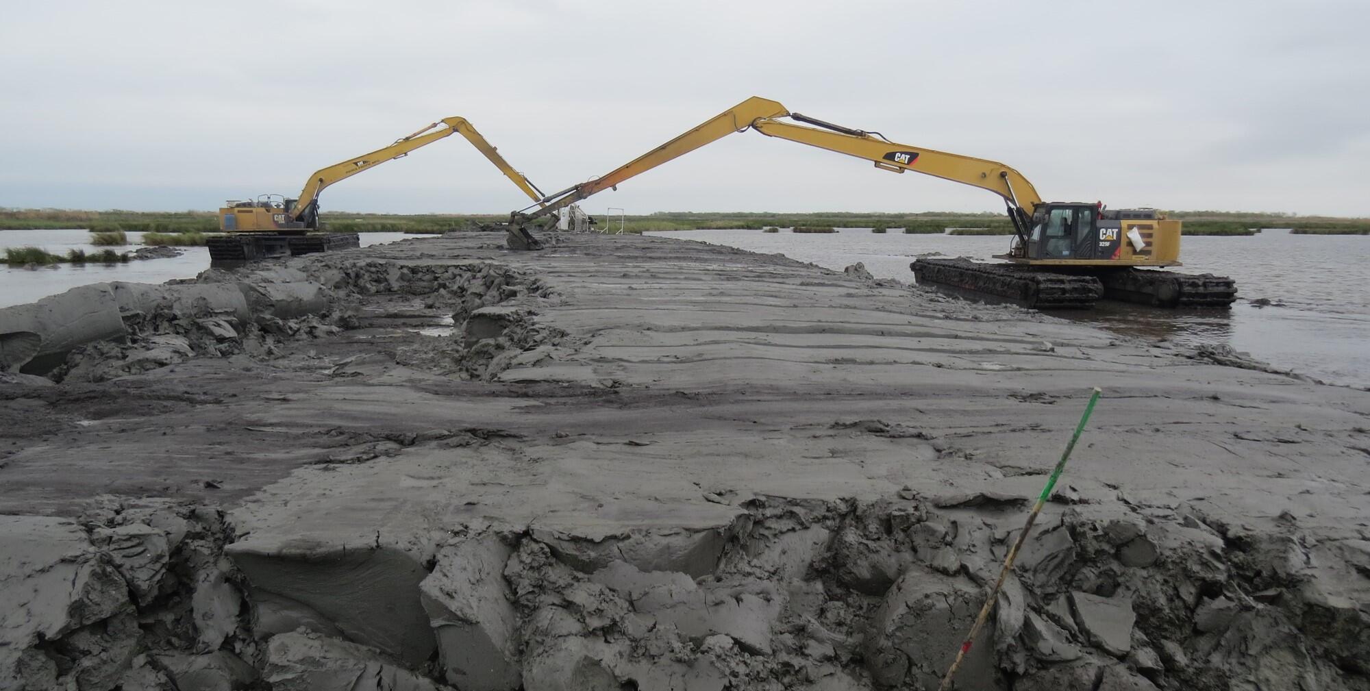
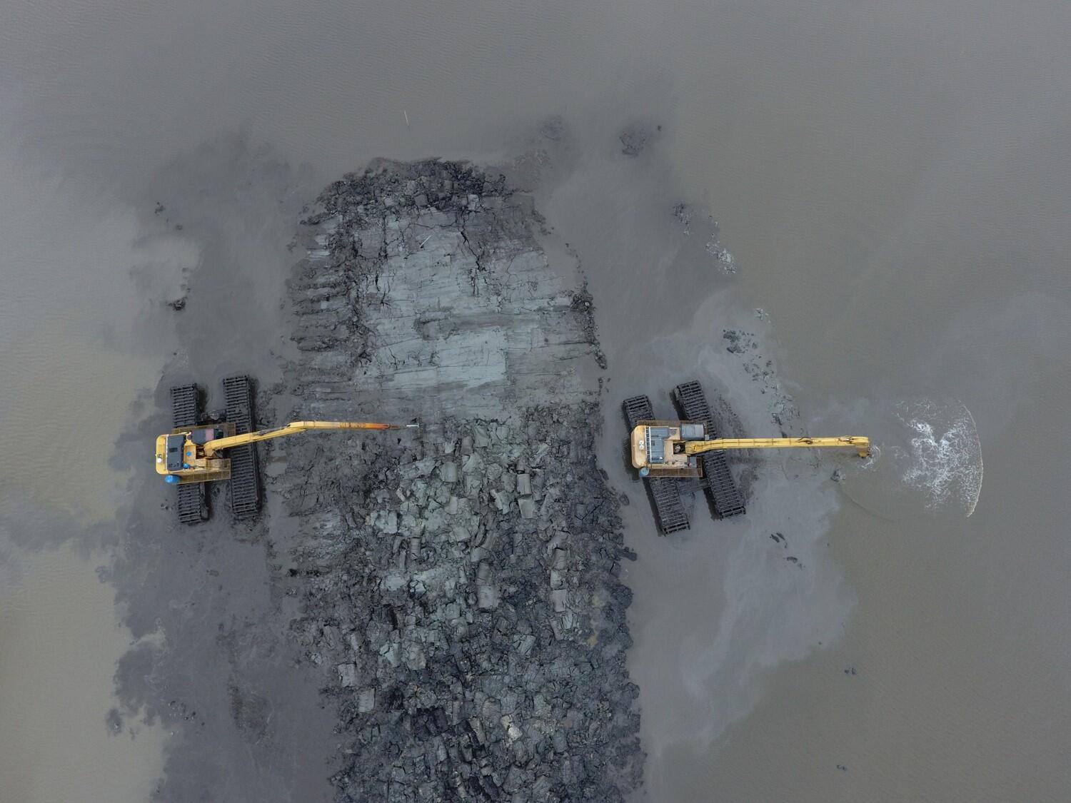
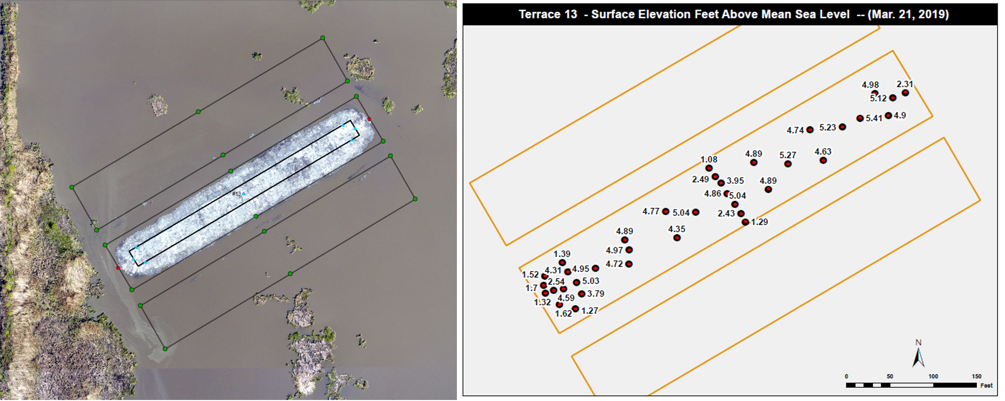
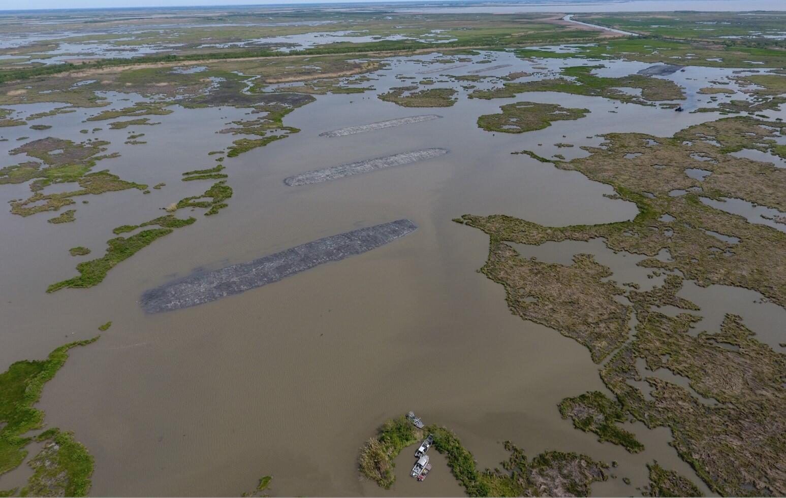
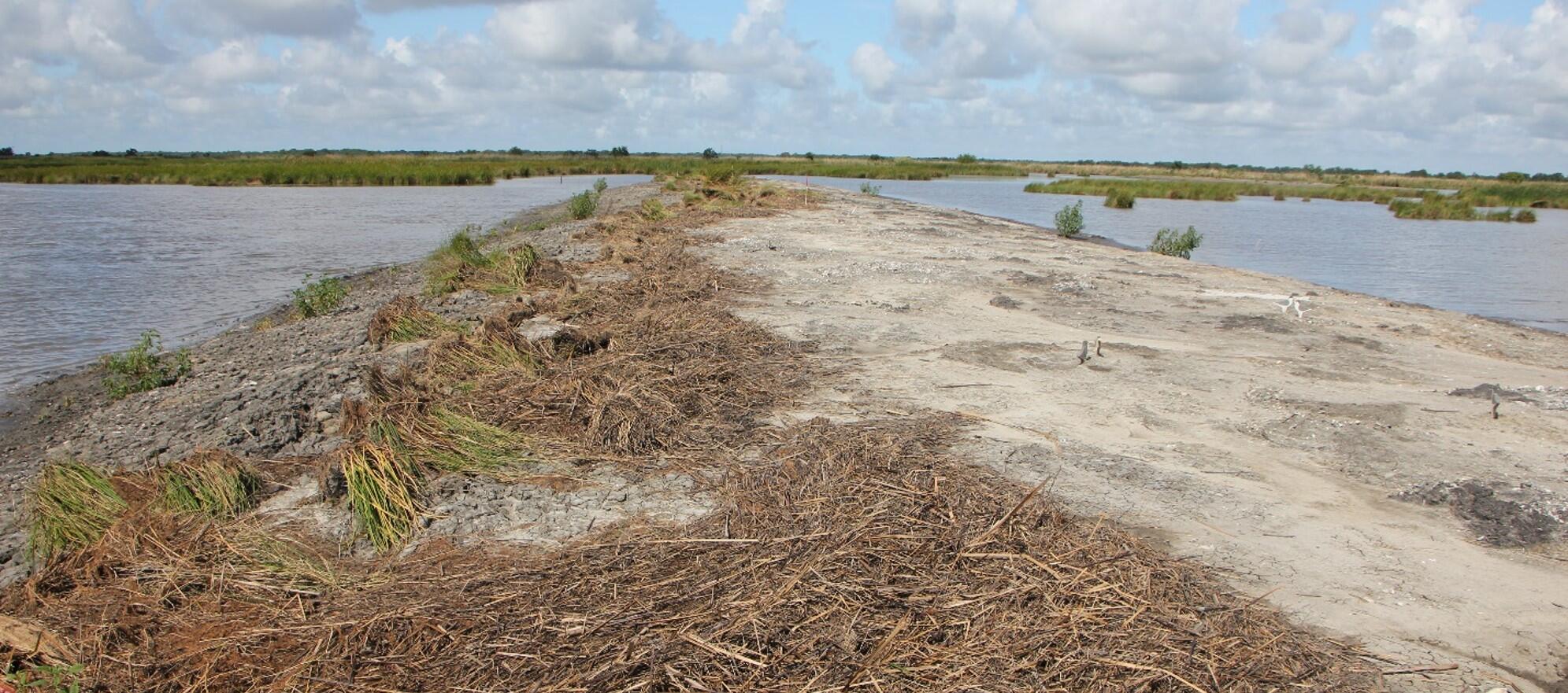
Terraces are typically built no taller than 3 feet NAVD 88, which will soon be overtopped by rising seas and subsiding substrate and will last about 20 years. The terraces built in the Deep Lake Management Unit of the Rainey Sanctuary were built 5 to 6 feet, and for the first time, will address long-term (>50 years) sea-level rise projection.
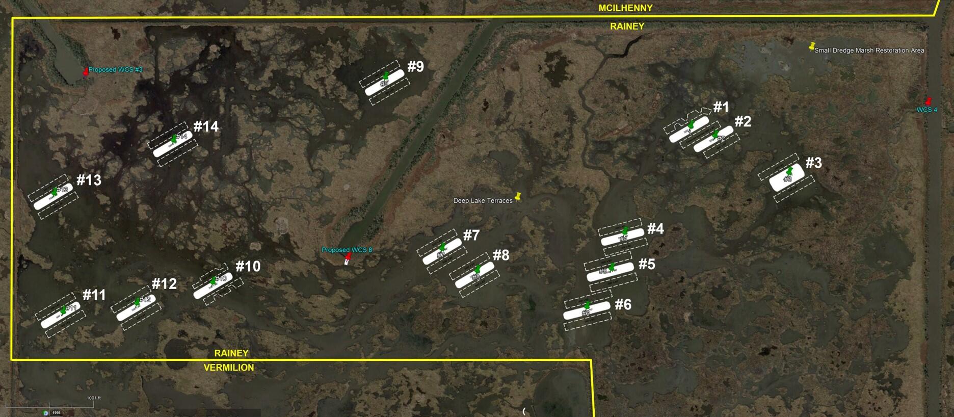
This project is expected to improve the functionality and resiliency of 4,000 acres of wetlands in Louisiana, providing diversified habitat for fish and wildlife as the climate changes, tidal influences increase and sea level rises.
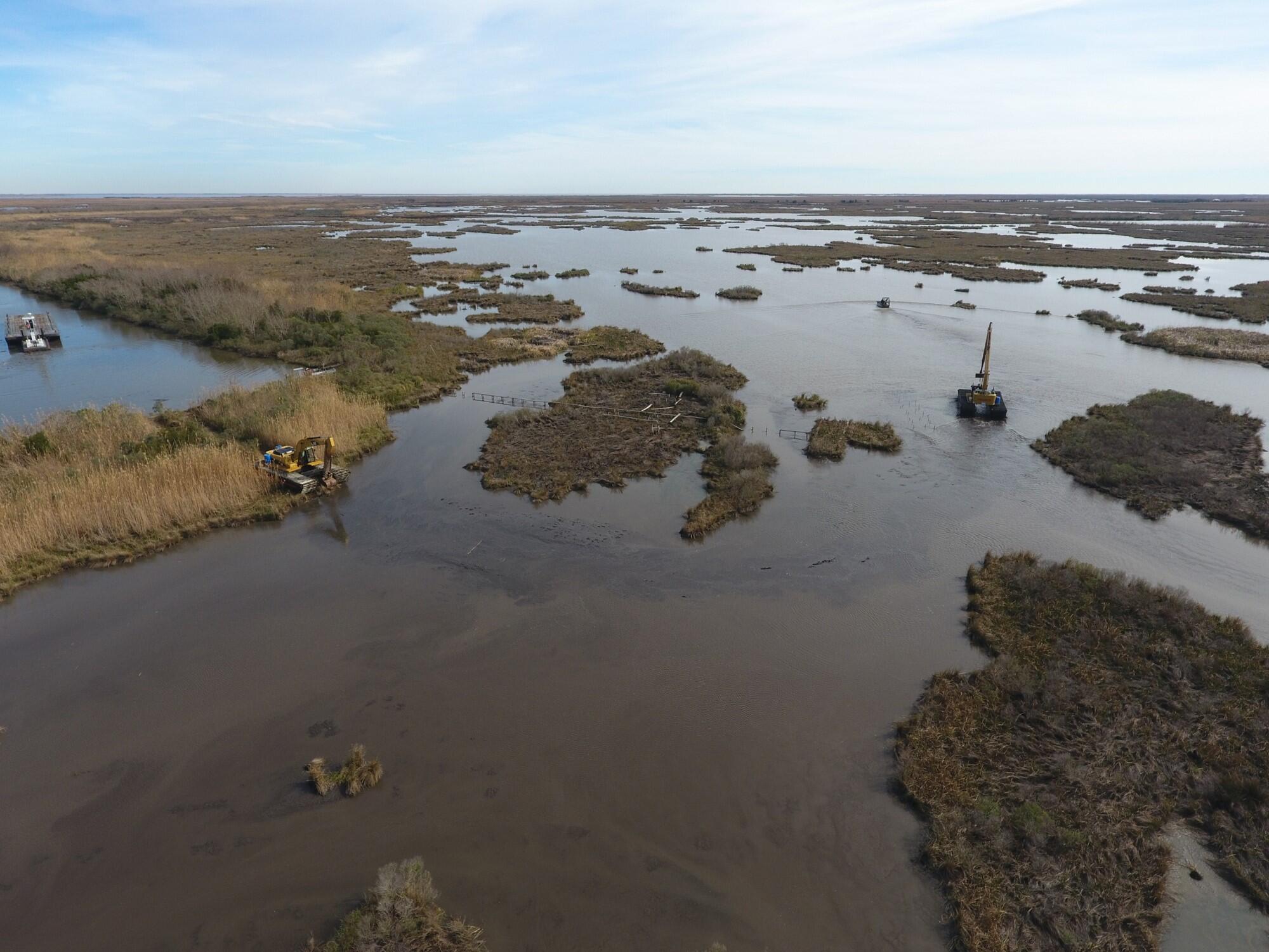
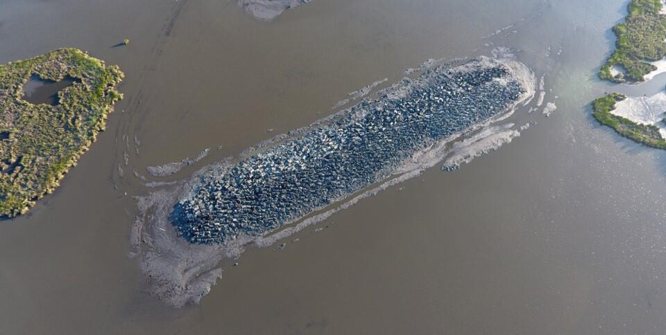
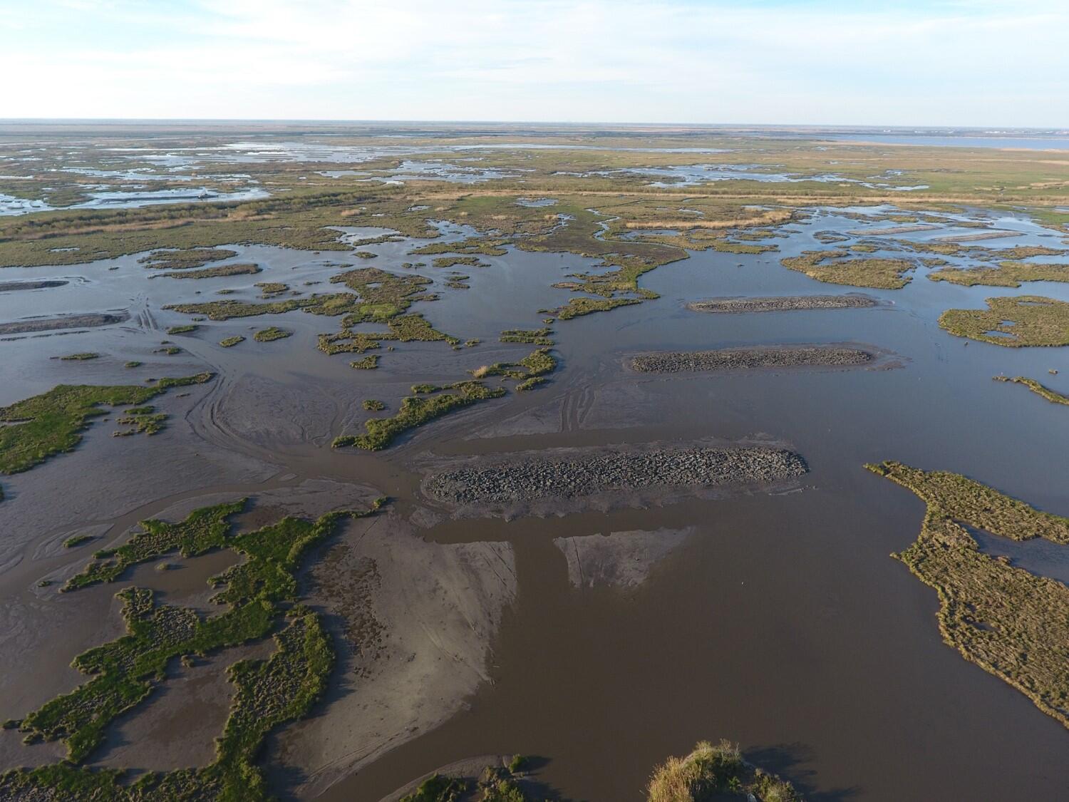
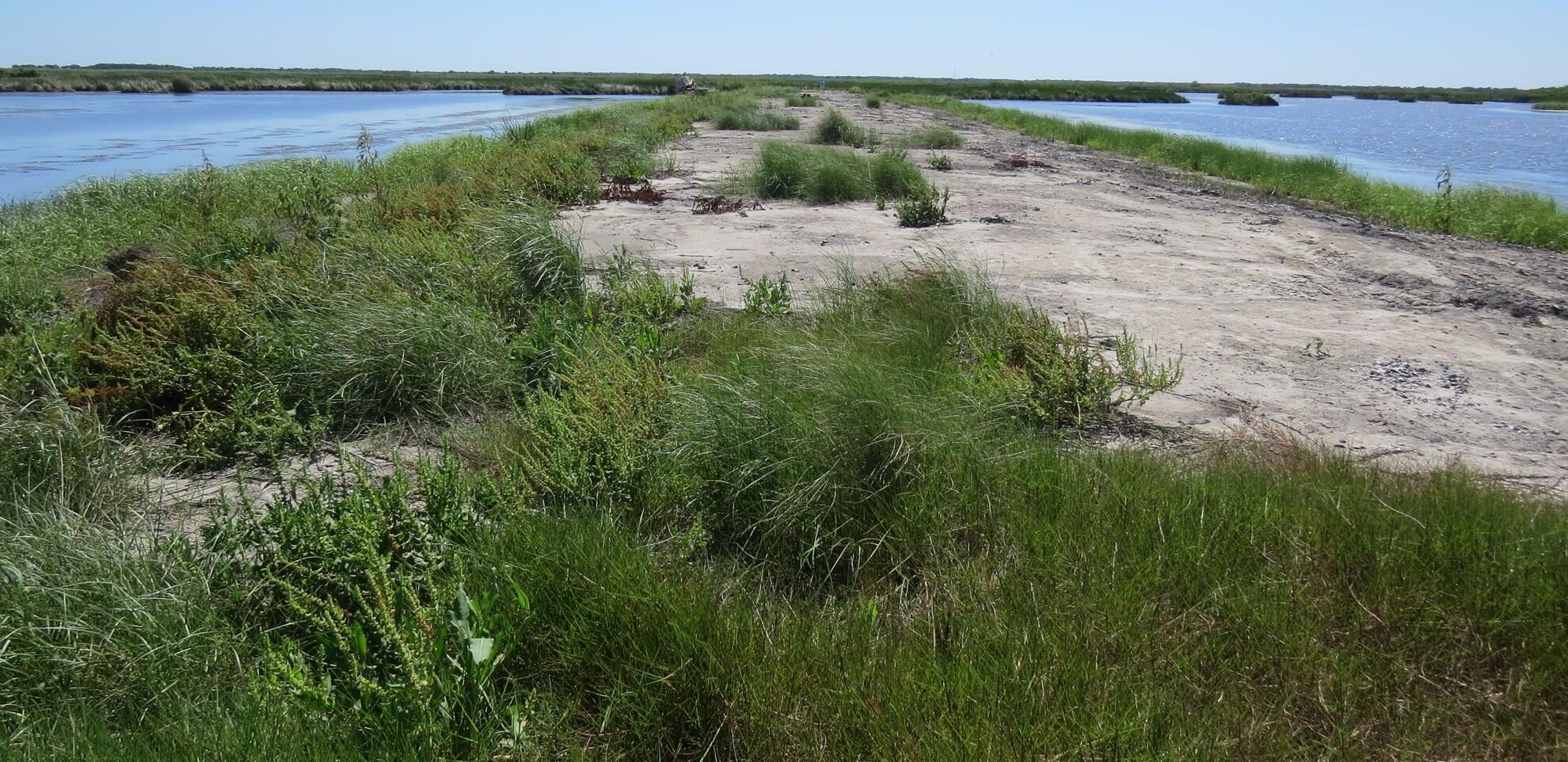
Designing the structure to either support trees or maintained as bird islands diversifies the future habitats and provides greater opportunities for a variety of species as the climate changes. The material to build the terraces was excavated from submerged areas adjacent to the terrace and resulted in deep water habitat in an otherwise shallow system that provides a refuge for aquatic creatures during periods of low water. The construction in open water with deep areas on either side discourages access by predators such as bobcat and coyote that are becoming increasingly destructive to marsh-breeding and migrating birds.
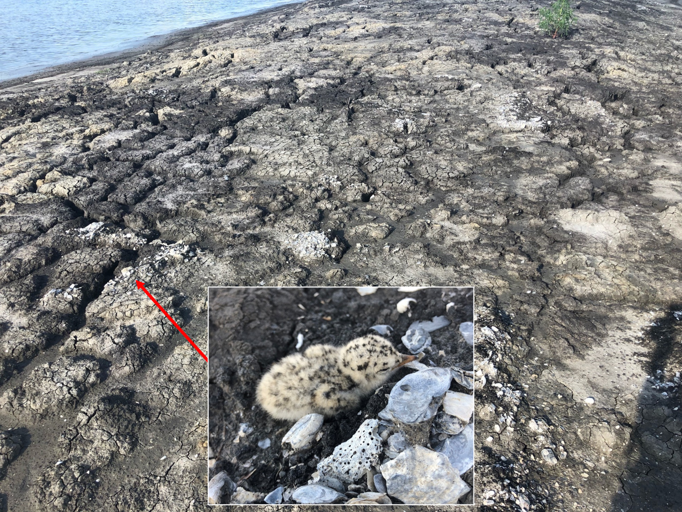
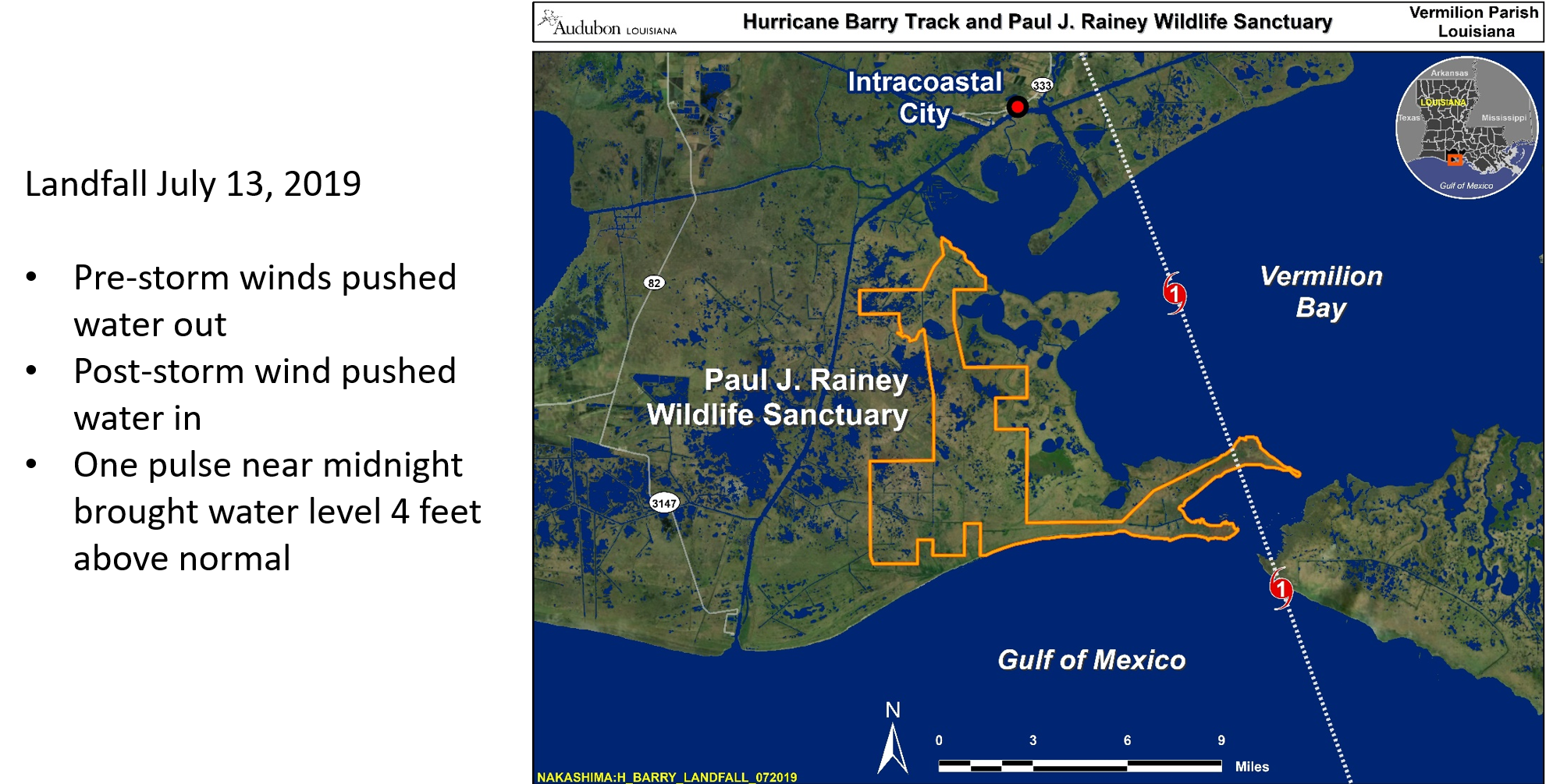
In July 2019, just three months after terrace construction, Hurricane Barry made landfall at the east end of Rainey. Upon reviewing the terraces for storm damage, the marsh behind the terraces were undamaged, although landscape not protected by terraces was affected. In addition, at least two Least Terns survived on each colony.
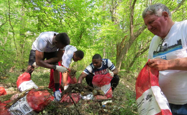
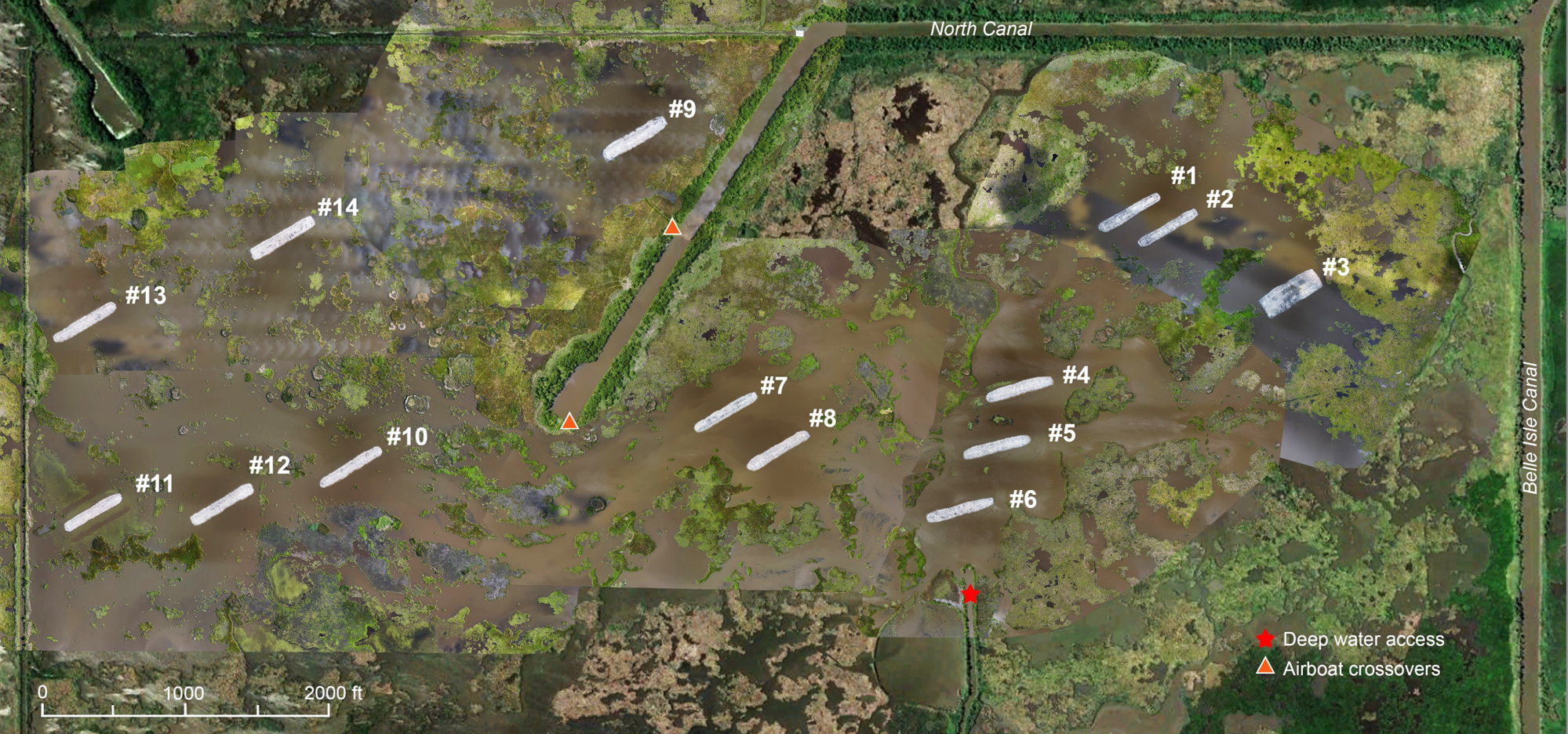
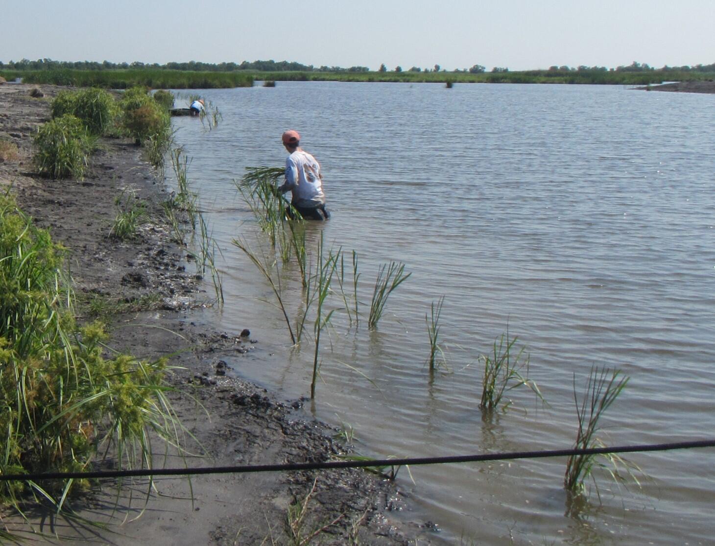
In September 2019, volunteers planted smooth cordgrass and Paspalum. In January 2020, Audubon staff planted 313 trees on nine terrraces.
Continued monitoring for this project will include:
- aerial monitoring by drone
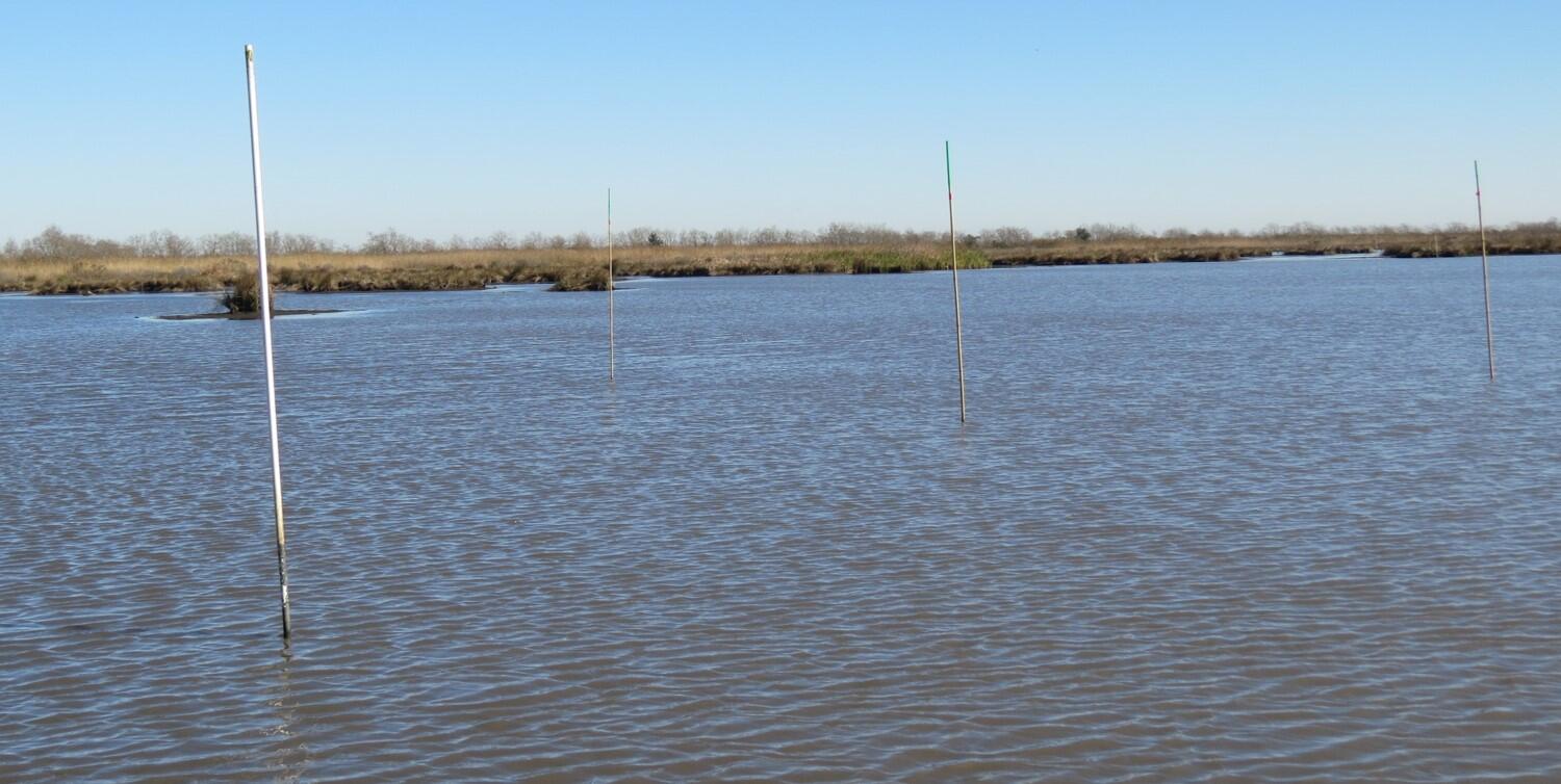
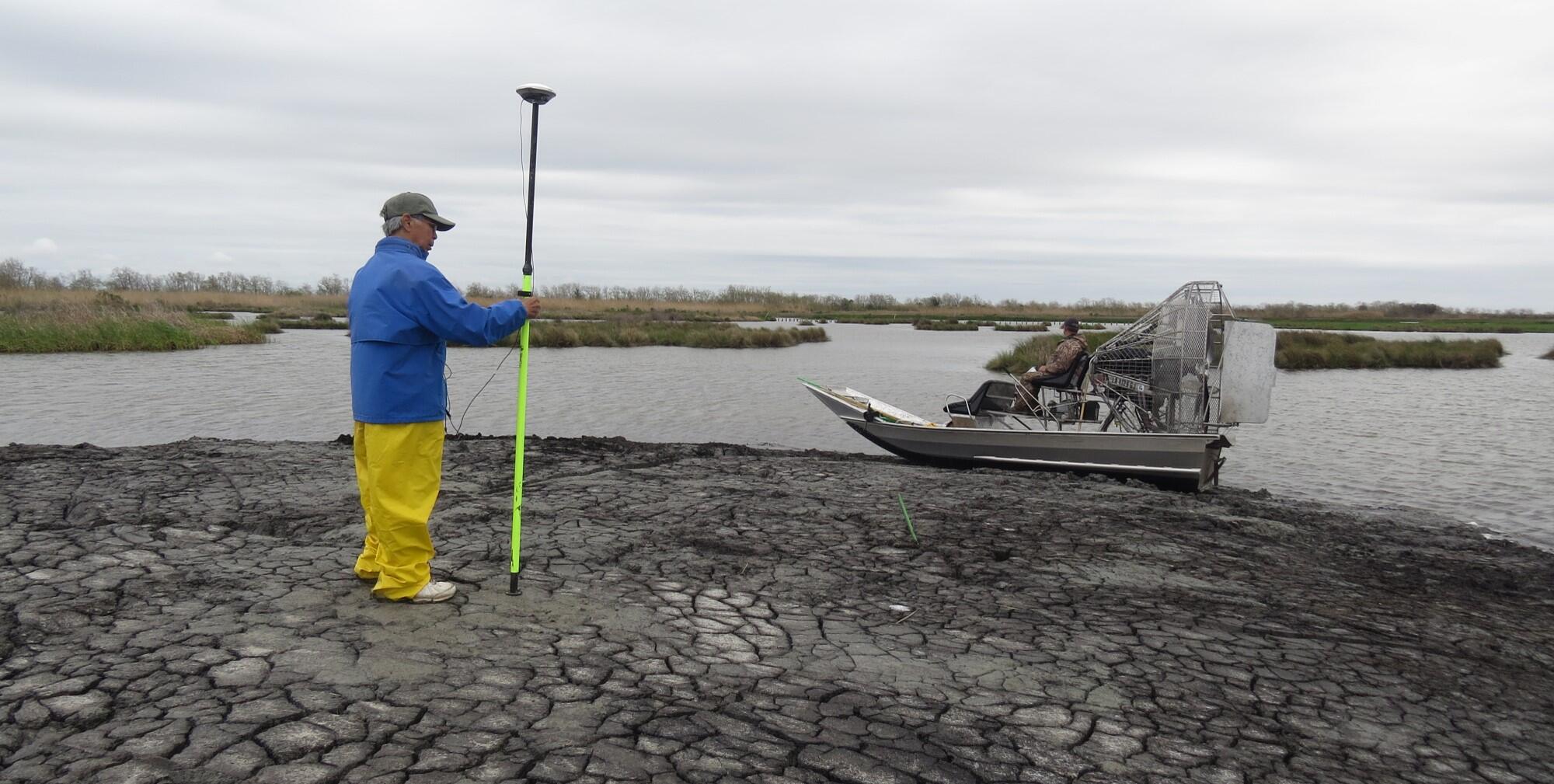
- elevation and bathymetry monitoring
- terrace habitat
- surrounding land changes
- SAVs
- birds
- non-avian wildlife
Additional Resources:
Karen Westphal hosted a webinar sharing the results of the deep lake terrace project.

Donate to Audubon Delta's Work
Help secure the future for birds at risk from climate change, habitat loss and other threats. Your support will power our science, education, advocacy and on-the-ground conservation efforts.

Related
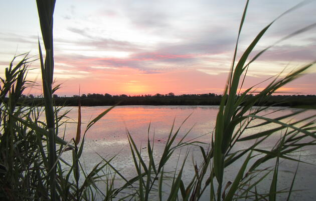
Paul J. Rainey Wildlife Sanctuary
The National Audubon Society has owned the 26,000-acre Paul J Rainey Wildlife Sanctuary in southwest Louisiana since 1924.
Get Involved
Be a voice for birds
Join our Advocacy Team to receive action alerts about legislation and policy when Audubon Delta's birds need your voice.
Join Our Flock
Signing up is the best way to keep up with Audubon's latest news, programs and initiatives.